
Understanding the Most Accident-Prone Areas in Salt Lake City
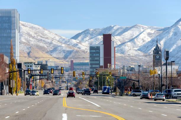
Salt Lake City has several roadways and intersections where crashes happen far more often than average. These hotspots typically combine heavy traffic volume with complex intersection design or high pedestrian activity. Understanding where these areas are can help drivers stay more alert.
Crash data collected by state and local transportation agencies consistently points to the same corridors year after year across the metro area. Busy commercial streets, freeway interchanges, and pedestrian-heavy neighborhoods all show up repeatedly in these reports. Salt Lake City’s rapid growth has only added to the traffic volume moving through these areas.
Knowing the most dangerous road intersections in the city helps explain why certain crashes keep happening in the same places. The pattern is rarely random. The sections below break down where and why these accidents cluster.
Why Certain Areas See More Accidents
High-traffic intersections with multiple turning lanes create more opportunities for driver error. Left turns across oncoming traffic are one of the most common causes of collisions at busy Salt Lake City crossings. Confusing lane configurations add to the risk, especially for out-of-town drivers unfamiliar with the area.
Pedestrian activity also plays a major role in certain neighborhoods. Areas near shopping districts, transit stops, and university campuses see more foot traffic mixing with vehicles throughout the day. This combination increases both the frequency and severity of crashes in those zones.
The Most Common High-Risk Intersections
Several intersections in and around Salt Lake City appear repeatedly in local crash data. These locations share common traits like consistently high traffic volume and complex approach patterns.
- The State Street corridor sees frequent collisions due to heavy commuter and commercial traffic
- The 900 East and 2100 South intersection in the Sugar House area has a history of pedestrian-related crashes
- Redwood Road crossings see frequent rear-end and angle collisions tied to rushed turns
Downtown and Urban Core Risks
Downtown Salt Lake City presents its own set of challenges for drivers and pedestrians alike. Dense development means more intersections packed into a smaller area, with signals spaced close together.
Mixed Traffic Near Transit Corridors
Streets like 200 South carry heavy transit, bicycle, and pedestrian traffic alongside regular vehicle lanes throughout the day. This mix increases the number of potential conflict points at nearly every signal. Ongoing infrastructure projects aim to separate these different types of traffic more clearly going forward.
Freeway and Highway Corridors
Interstate 15 through Salt Lake City remains one of the busiest and most crash-prone stretches of highway in the entire state. Heavy congestion during commuting hours increases the likelihood of rear-end collisions and sudden lane changes.
Interchanges connecting I-15 with other major highways add further complexity to an already congested corridor. Merging traffic from multiple directions creates split-second decisions that can lead to serious crashes.
Pedestrian-Heavy Danger Zones
Certain areas of Salt Lake City see a disproportionate share of pedestrian-involved crashes. These zones typically combine high foot traffic with limited crossing infrastructure.
- Areas near university campuses see frequent pedestrian crossings during class transitions.
- Commercial districts with heavy foot traffic increase conflict points near driveways and crosswalks.
- Neighborhoods with limited marked crosswalks push pedestrians toward less protected crossing points.
What the City Is Doing to Improve Safety
Local transportation officials have identified several corridors for safety improvements based on ongoing crash analysis and community feedback. Projects along streets like 200 South include dedicated transit lanes, buffered bike lanes, and improved crosswalk design.
These changes aim to separate different types of road users and reduce the number of conflict points at busy intersections. Long-term infrastructure updates take time, but they reflect a direct response to known crash patterns across the city and surrounding areas.
Key Takeaways
- Certain Salt Lake City intersections consistently rank high in local crash data.
- Left turns and complex lane configurations contribute heavily to intersection collisions.
- The State Street corridor and Redwood Road crossings see frequent crashes.
- Downtown transit corridors mix vehicles, pedestrians, and cyclists at busy intersections.
- Interstate 15 remains one of the most crash-prone stretches in the state.
- Pedestrian-heavy zones near campuses and commercial districts see elevated crash rates.
- City officials are pursuing infrastructure changes to address known high-risk corridors.